
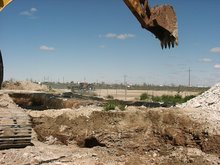
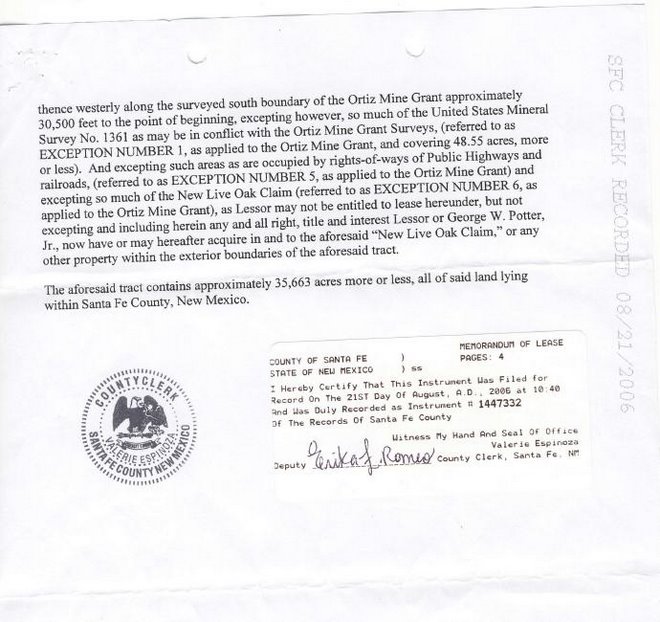
"NEW YORK (MarketWatch) -- The National Oceanic and Atmospheric Administration on Monday launched a new mapping Web site for the oil spill in the Gulf of Mexico at http://www.GeoPlatform.gov/gulfresponse. NOAA said the Web site will provide detailed, near-real-time information about the response. Originally designed for responders who make operational decisions, the Web site was the result of a joint partnership between NOAA and the University of New Hampshire's Coastal Response Research Center."
From http://www.geoplatform.gov/gulfresponse/
"The dynamic nature of the BP oil spill has been a challenge for a range of communities – from hotel operators to fishermen to local community leaders. We know the American people have questions about how the federal government is responding to this crisis, and we are committed to providing the answers with clarity and transparency. The site you’re viewing right now is a symbol of that commitment.
GeoPlatform.gov/gulfresponse is a new online tool that provides you with near-real time information about the response effort. Developed by NOAA with the EPA, U.S. Coast Guard, and the Department of Interior, the site offers you a “one-stop shop” for spill response information.
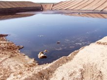
The site integrates the latest data the federal responders have about the oil spill’s trajectory with fishery area closures, wildlife data and place-based Gulf Coast resources — such as pinpointed locations of oiled shoreline and current positions of deployed research ships — into one customizable interactive map.
GeoPlatform.gov/gulfresponse employs the Environmental Response Management Application (ERMA®) a web-based GIS platform developed by NOAA and the University of New Hampshire’s Coastal Response Research Center. ERMA was designed to facilitate communication and coordination among a variety of users — from federal, state and local responders to local community leaders and the public. The site was designed to be fast and user-friendly, and we plan to keep it constantly updated.
The mapping tool includes only those vessels equipped with the automatic identification system and therefore is not representative of all the vessels supporting the largest oil spill response and recovery operation in U.S. history.
Click the map below (link>>>>) to use the tool yourself and see the latest information about the oil spill’s trajectory, shipping information, fishery closures and where responders are taking action."


No comments:
Post a Comment